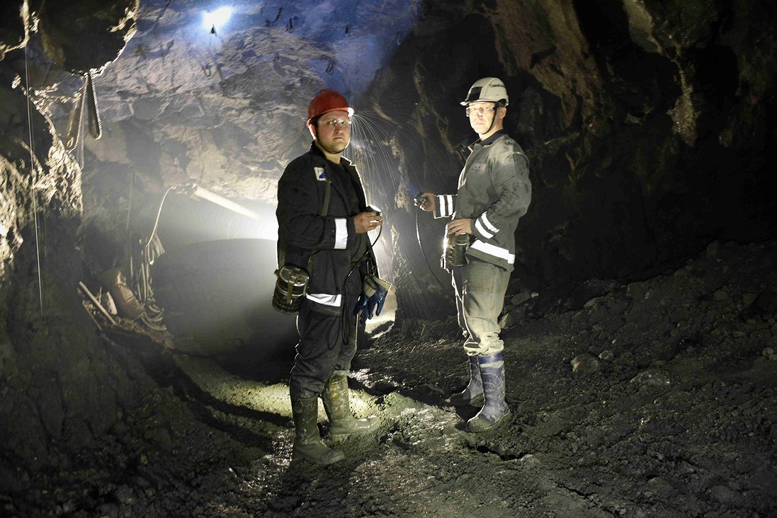
As part of the Nornickel Polar branch mine surveying service modernization, mining enterprises have received and are successfully using sets of equipment for mobile laser scanning of mine workings. So far, the Mayak, Komsomolsky, Oktyabrsky, Taimyrsky and Skalisty mines have received one set each, but the direction will be expanded.
Before the advent of mobile laser scanners, surveyors used electronic tacheometers for surveying mine workings. A detailed examination required rather laborious operations with heavy equipment (about 40 kilograms). It took quite a lot of time for field, then cameral processing, analysis and delivery of the research results. With the use of the mobile scanners, the number of team members is reduced from four or five to one or two. For example, a survey of a hundred-meter mine takes about three minutes versus half an hour with the old method: the measurement speed of the mobile scanner is 40 times higher than that of stationary models.
According to the Nornickel Polar branch press office, mobile laser scanners are still rare hardware and software tools in mining that have recently entered the world market. They cost 4-5 million rubles, stationary ones – more than 10 million. The mobile version of the scanners allows to obtain data with sufficient accuracy and efficiency to create digital three-dimensional models of underground objects. Scanners help to quickly identify the deviations of the mine workings’ actual position from the design one. High data accuracy is one of the requirements of the mine surveying service for this equipment. And in general, it allows to increase the efficiency and productivity of a mining enterprise: detailed surveying will make it possible to clarify the volume of mined rock mass, as well as to design and plan mining operations better.
The equipment of the scanner includes an extension bar with a scanner-emitter and a backpack with a tablet computer and other electronics. The total weight is about five kilograms. Scanning is carried out by an operator walking along the mine at a normal pace. The results are summarized in the mining and geological information system (GGIS), where all data from the survey of the mine workings are stored. The final result of scanning is a three-dimensional image of mine workings in the Micromine software package (this information system for mining engineers, geologists and surveyors has been developed and produced by the Australian company MICROMINE Pty Ltd since 1984).
Three-dimensional images of the workings will allow them to be used in drawing up long-term production plans. This will provide the opportunity to develop other important projects: a system for positioning personnel and mining equipment underground, deserted mining.
Text: Olga Polyanskaya, Photo: Nikolay Shchipko


