
#ARCTIC. #SIBERIA. THIS IS TAIMYR. Scientists have processed archival data and calculated the locations of the earthquakes that occurred in the Arctic from the beginning of seismic observations from 1904 to 1919. The updated data turned out to be relevant for the modern assessment of seismic hazard in the region.
Any earthquakes of past years and centuries have an impact on the assessment of seismic risks and the forecast of the future situation in a particular area. If an earthquake happened somewhere 100 years ago, there is a chance that it can happen again.


“The construction of industrial facilities, residential buildings and other buildings and structures is carried out in accordance with the general seismic zoning maps. Maps show a probabilistic assessment of seismic hazard, that is, the possibility of earthquakes, their cyclicity, magnitude and possible effect. Maps are built on the basis of long-term observations. And the longer the period they cover, the more potentially effective these maps are”, said Natalya Vaganova, leading researcher at the Federal Research Center for Comprehensive Study of the Arctic (FRCCSA) Seismology Laboratory.
Earthquakes recording in the Arctic began in 1904 at a new seismic station in Norway. In 1906, stations capable of detecting earthquakes in the Arctic region were opened in Sweden and Russia, and in 1909 – in Iceland.
“To determine the earthquakes parameters, such as coordinates, depth, magnitude, it is important, if not critical, the amount of initial seismic data from stations that recorded this earthquake”, explained Aleksey Morozov, a leading researcher at the FRCCSA and the Institute of the Earth Physics.
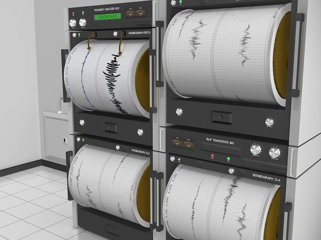
Scientists renewed the data of the beginning of the 20th century using new information processing programs, which made it possible to digitize a large volume of seismograms from the International Seismological Center in the UK, archival data from the Unified Geophysical Service of the Russian Academy of Sciences and a number of other sources.
Researchers of the first half of the 20th century, who made generalizations of seismic data, used outdated ideas about the velocities of seismic waves in their calculations. To accurately determine the epicenters of earthquakes, it is also necessary to know the velocity model of the Earth, the velocity of propagation of seismic waves in the bowels of the planet.
In the course of the work, it turned out that not all strong earthquakes in the Arctic, registered at the beginning of the 20th century, are reflected in modern catalogs, some of them make a significant contribution to the assessment of the potential seismic hazard of the territory. Information about them was found in articles by European authors of the 1920s–1930s. For example, in 1912 there was an earthquake of magnitude five with an epicenter, as indicated in the catalogs, in the area of the Severnaya Zemlya archipelago. The latest calculations showed that the epicenter was in the region of the Gakkel ridge.
Follow us on Telegram, VKontakte.
Text: Denis Kozhevnikov, Photos: Nikolay Shchipko, Olga Aleksandrova and istockphoto.com


