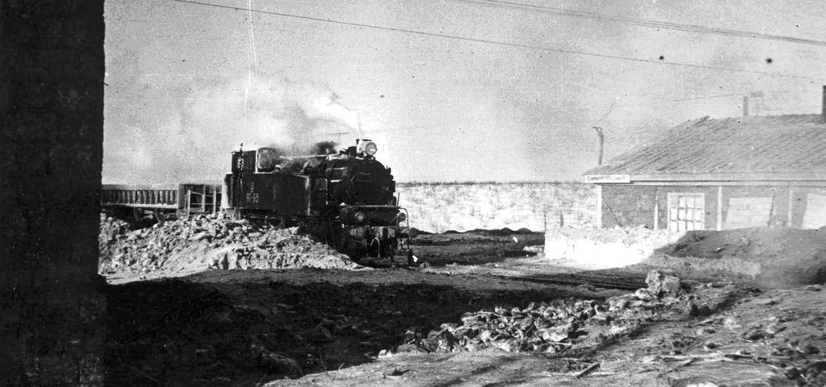
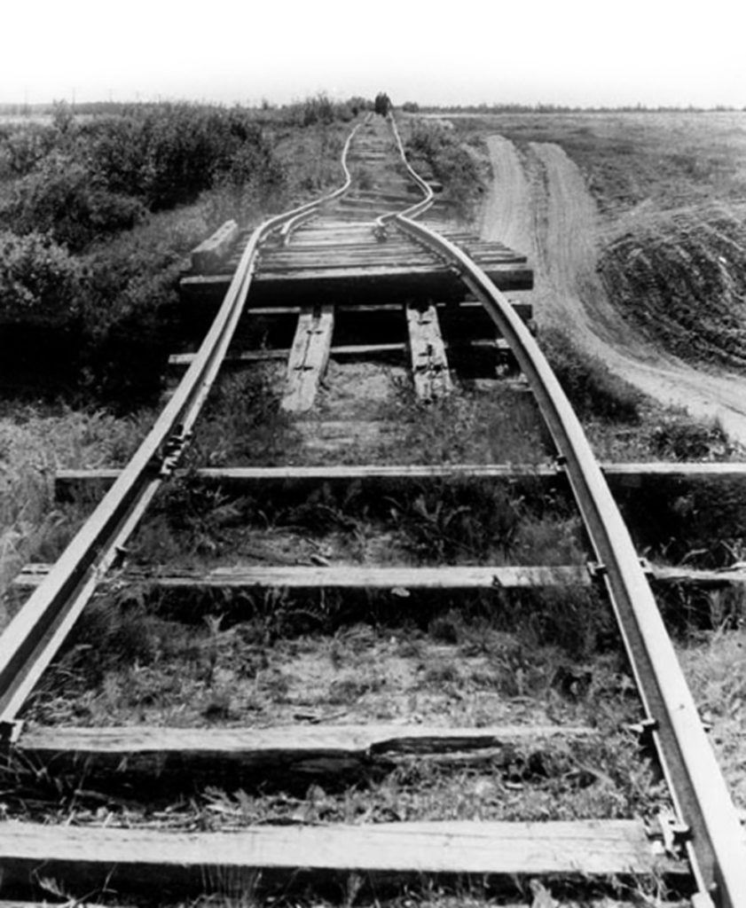
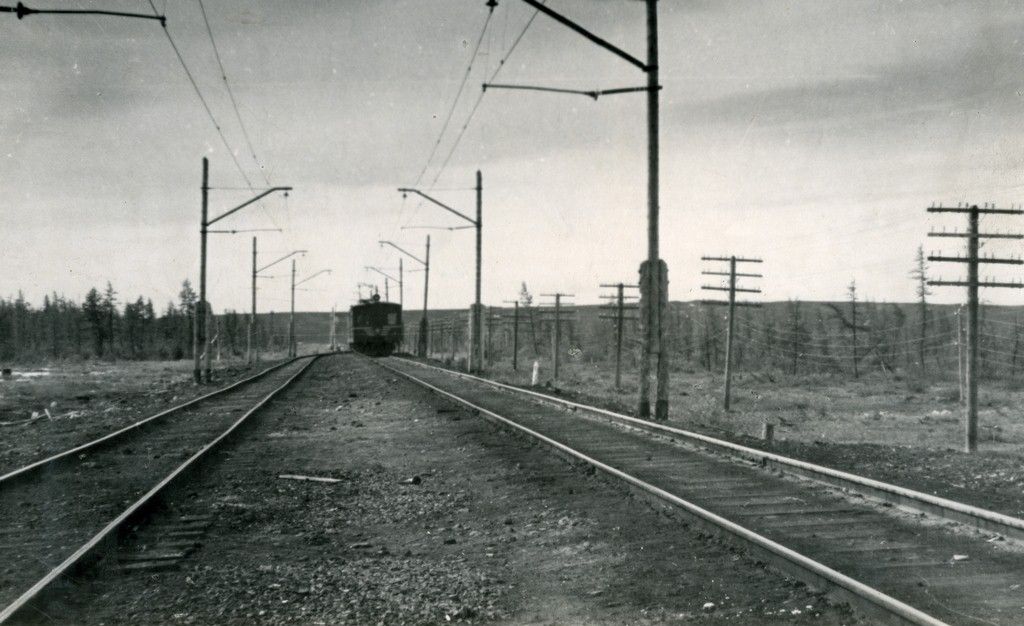
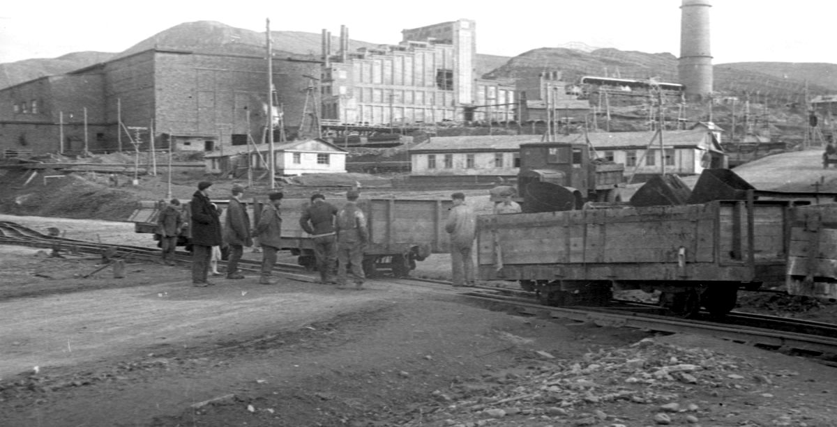
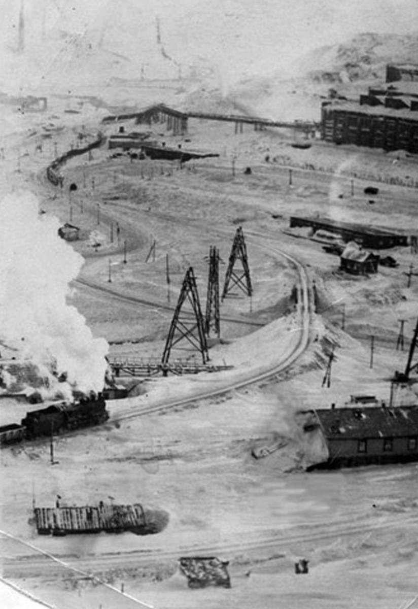
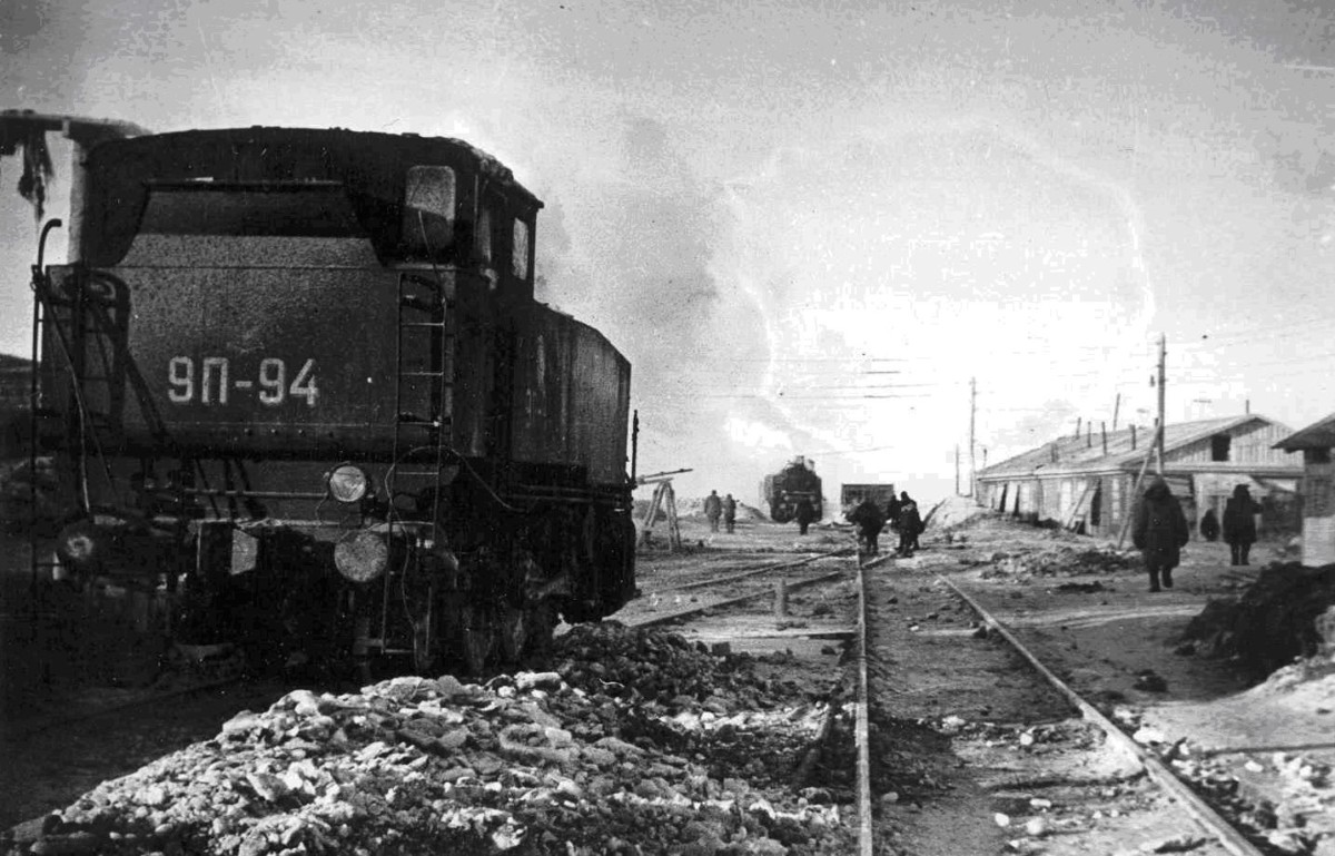
#ARCTIC. #SIBERIA. THIS IS TAIMYR. The current road leads almost in a straight line due west. And the narrow-gauge railway made an extra detour, turning to the north after the bridge over the Ambarnaya river.
Why did the broad and narrow gauge routes not coincide? It is generally accepted that the narrow-gauge railway departed from the shortest, most direct route in order to bypass numerous obstacles – rivers, lakes, hills.
However, bypassing natural obstacles does not explain the fact that narrow-gauge track deviated quite steeply – almost 45 degrees.
There is a version that the narrow-gauge railway was laid along the route to the village of Ust-Port. The fact is that in 1920 the Northern Sea Route Committee sent two expeditions to the Norilsk region. One – under Nikolay Urvantsev’s leadership – examined a coal deposit. And the other one conducted reconnaissance surveys for the construction of a railway line from Norilsk to the Ust-Yenisey port.
It was Ust-Port that was supposed to become the main trading base and frontier for Taimyr and the Arctic wealth development. And the first railroad surveys went precisely with the expectation of this base, which was located north of Dudinka.
In the History Spot’s previous publication, we told that initially Norilsk was considered as a coal deposit.
Follow us on Telegram, VKontakte.
Text: Svetlana Ferapontova, Photo: Nornickel Polar Branch archive
